
Start: 824.4 End: 832.2 + 3.2 miles of Bishop Pass Total = 11
We had planned on having a super chill day and sleeping in so neither of us set an alarm. I had to pee around 7:30 though and there was no going back to bed for me. We were cowboy camped right along the side of the trail and were both up but still lounging in our sleeping bags around 8 when a young French man came by.
He had started his hike at 2 am and was about to take a nap at a nearby river. He too didn’t think Mathers was as scary as I did, I thought maybe it wasn’t that bad. Then, I remembered dry heaving as I climbed over the top, I think it was that bad but it was worse because of the specific route I chose. Most people just scrambled over the rocks like Nick.
We continued lying around until 8:30 and then, still in our bags, made some coffee. We rock paper scissored for who had to get up to go get our bear cans, Nick lost so I got to stay cozy! Another single male hiker and then a couple soon passed us. It was the most people we had seen this entire stretch. They all had gotten up super early to do mathers that morning while Nick and I still hadn’t put on our hiking clothes for the day.
We got dressed, packed up and filtered some more water then hit the trail. We had anticipated a snow free hiking day so we were in no rush. We had a few smaller stream crossings but were able to keep our shoes on for all of them. They required a bit of problem solving but it was a fun task to find different routes across rivers using logs and rocks and big jumps.

It was super chill and beautiful hiking down through the valley. There were waterfalls everywhere, flowing off the high granite walls that enclosed us. We were surrounded on both sides by enormous mountains as we walked alongside the river that was flowing with so much power. It was such a beautiful place to be and so nice to just be strolling through it without hurry.


We found a nice swimming spot in a meadow with calmer water and went for a dip & had lunch. After lunch we slowly started gaining back elevation, what would be the beginning of the climb up Muir Pass if we were staying on the PCT. However, we were going to Bishop Pass, where we’d hike 13 miles off trail and then hitch into the town of Bishop, where I would resupply and Nick would sadly get off to go back to work.

We got to the intersection of the PCT and Bishop Pass and I got really sad, realizing this was the end of Nicks time out here with me. It had been so nice having him out there and sharing that experience with him. I was also sad I would be hiking 13 miles off trail, miles that don’t really count, then I would have to turn around and so then again, this time alone.

We sat at the intersection, explored a nearby ranger hut and then started up Bishop Pass. We started up steep switchbacks where we would gain 2000 feet of elevation in 3 miles. The trail was really well built and cared for and most of them way up was stone steps, that a trail crew had to at one point manually pick up and place there. I was in awe of all the work that went into this trail.


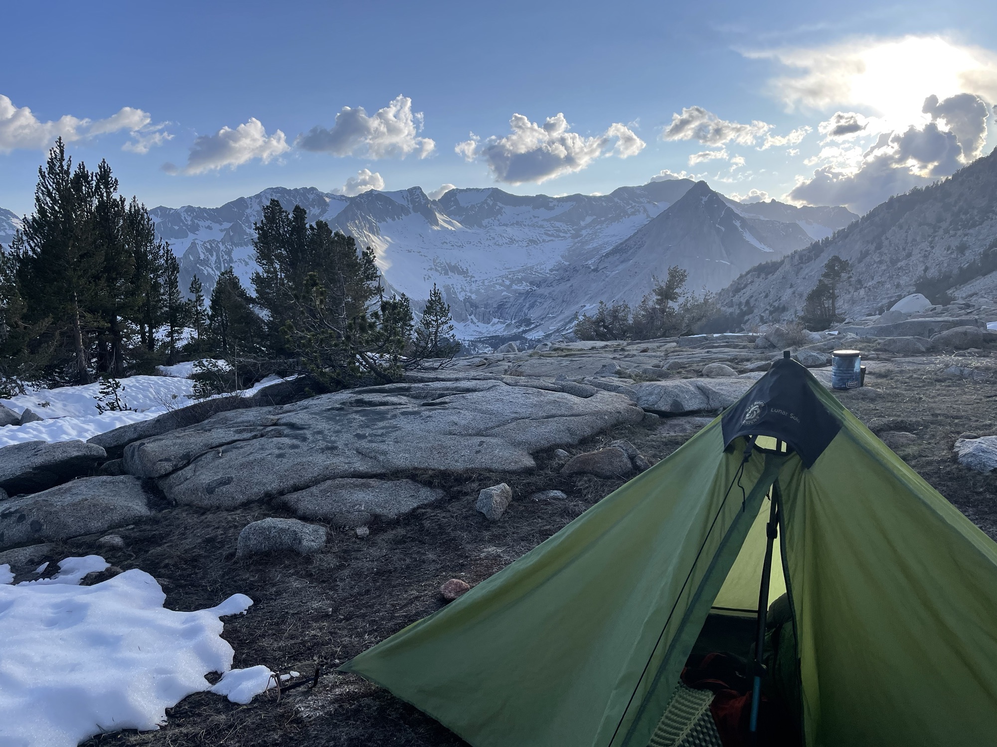
At the end of the 3 miles of switchbacks we entered a plateau and found a dry campsite with amazing views. The first 3 miles had been snow free but it was starting up again and as it was afternoon the snow was very soft. We got set up and filtered water, I finally beat Nick in a game of rummi on this trip and we watched the sunset and enjoyed our last night on this trip. I really hoped Bishop Pass wouldn’t be as hard as the others.


Discover more from Trekking Home
Subscribe to get the latest posts sent to your email.